Cold Front Passage over Bratislava

  • June 26th, 2018
  • Weather
  • 0 Comments
  • peter.benovic

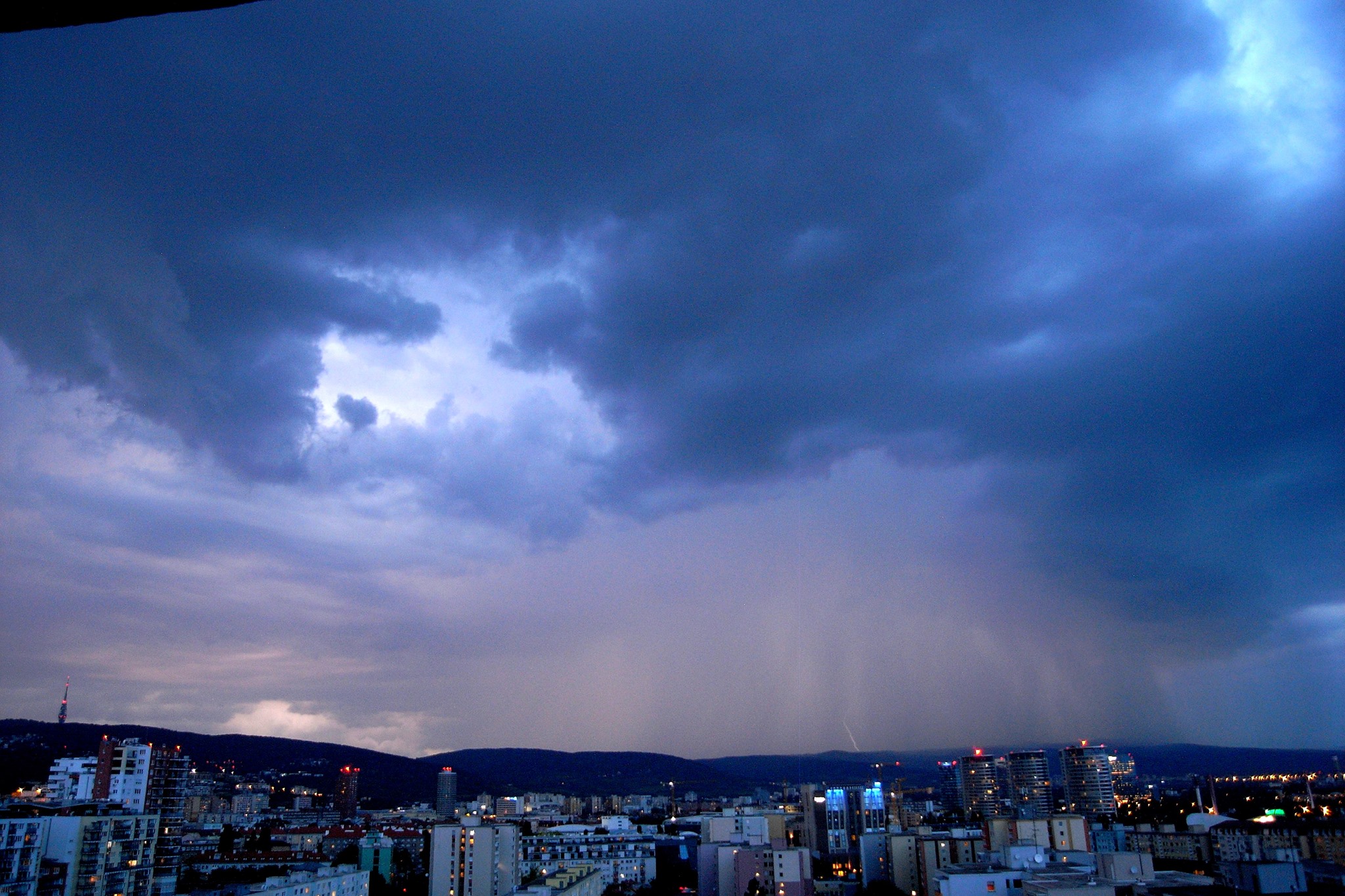
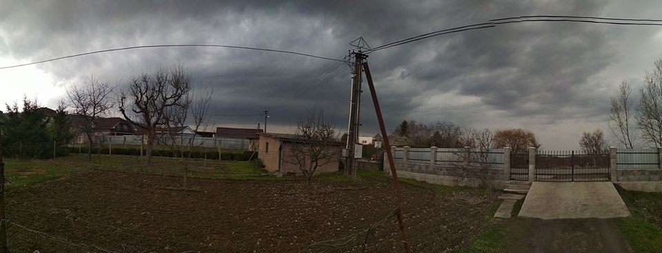
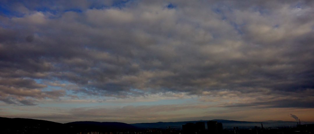
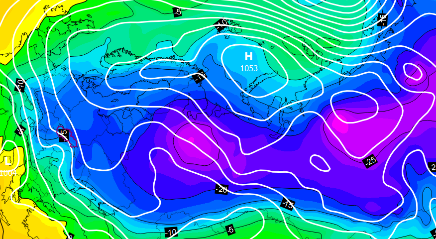
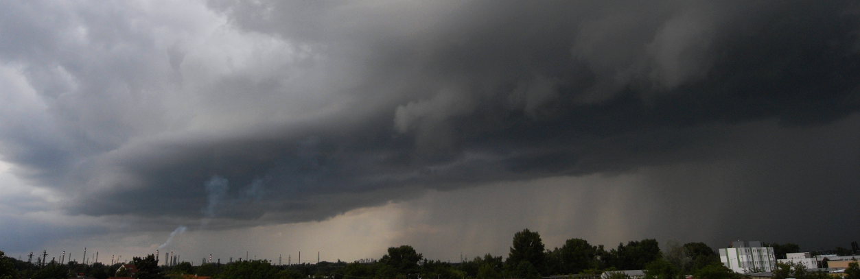
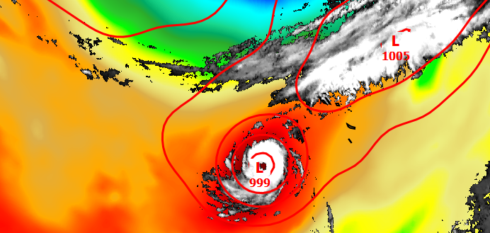
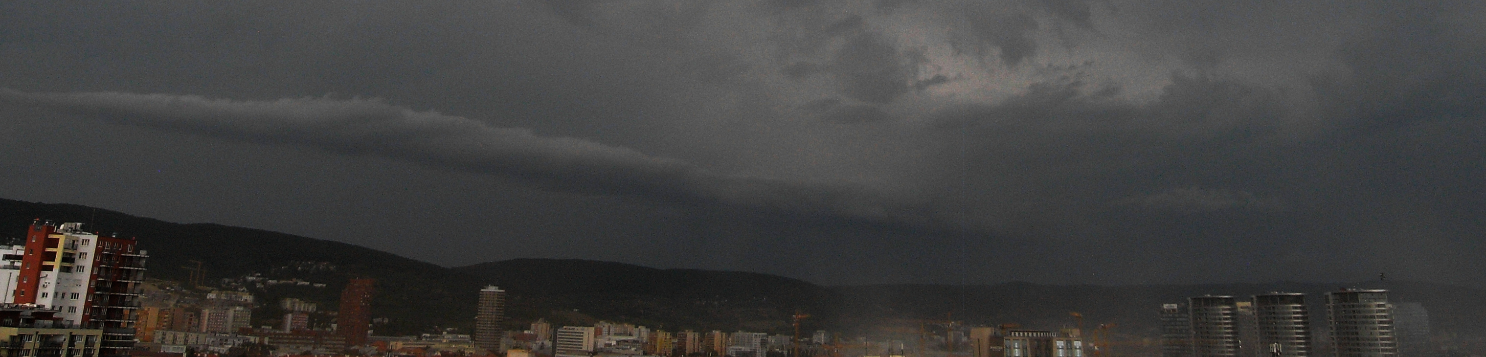
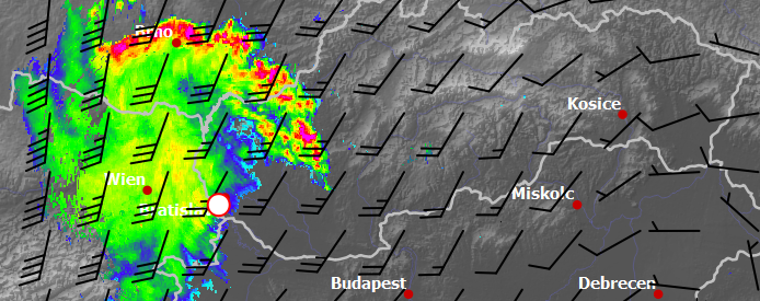
After a long period of hot weather in Bratislava we finally experienced cold outbreak when temperature dropped from 32 deg to less than 20 deg. The radar image loop shows how isolated storm cells formed into large mesoscale convective system. The timelapse movie below shows overall situation as has been seen by eyes from Bratislava […]

Early spring supercell storm in Slovakia

There was highly dynamical circulation development over the Central Europe during Eastern weekend with deepening cyclone movement from Mediterranean area across Alps toward Poland and the Baltic Sea. Several thunderstorms occurred over Slovakia in the afternoon on March 31st. One of them was captured nearby Kralovsky Chlmec in the Zemplin district area (southeastern part of […]

Stratocumulus clouds

  • March 30th, 2018
  • Weather
  • 0 Comments
  • peter.benovic

Good Friday early morning in Bratislava. Wavy stratocumulus clouds dominate the scene with vertical wind shear. The first timelapse with a brand new camera Sony Alpha6000 🙂  

Another Nor’easter is heading for US East Coast

  • March 7th, 2018
  • News, Weather
  • 0 Comments
  • peter.benovic

Meteorologists expect second winter storm in span of a week but they are not sure where it will hit…it seems from GFS model precipitation forecast consistency that the most affected areas will be around Philadelphia and New York City. These areas could be covered by 10-30 cm of wet snow during next night combined with […]

Massive cold outbreak is heading to Europe

  • February 21st, 2018
  • News, Weather
  • 0 Comments
  • peter.benovic

This winter season was the 20th warmest on record in Slovakia (until February 15th), however, every tail has a sting. The European land is cooled down after all and mild maritime air is streamed deeply to the Arctic regions at the same time. As a response, strong anticyclone circulation over Scandinavia and Barents Sea is […]

Summer remind

Now, in the middle of winter, it is the right time to recall summer sky with huge cumulonimbus clouds and thunderstorms. The first timelapse animation shows scattered cumulus clouds with progressive vertical development. There were several thunderstorms in a row which is a quite rare phenomenon in Bratislava. The last one directly hit camera position […]

Unique hurricane transition close to Europe

By reaching Category 3 intensity hurricane Ophelia has become the strongest hurricane ever observed so far in the east in the Atlantic Ocean. We could even observe the eye as close to the western European shore as never before. Above all, this hurricane underwent so-called transition to the common midlatitude cyclone. This process can be […]

Another severe thunderstorm outbreak over Slovakia

A thunderstorm developing in vertical wind shear is quite rare in Bratislava, especially during the summer season. However, this year has brought us many of them, for example on Sunday 27th August. The 12:00 pm UTC Vienna sounding (approximately 60 km from Bratislava to the west) shows moderate CAPE and a very low CIN, despite […]

Bow echo storm system over Slovakia

There were many interesting thunderstorms during this year season in Slovakia but the biggest one hit the western part of the country in the late evening hours on August 10th. The large Mesoscale Convective System (MCS) developed over Slovenia close to the sharp temperature boundary and very quickly moved to the north with the speed above […]

Lake-effect snow

  • February 6th, 2017
  • Weather
  • 0 Comments
  • peter.benovic

The most fabulous circulation setup of this winter in the Central Europe was the very cold air outbreak around January 6th. Temperature at 850 hPa level reached -20°C above Poprad aerological station, which is a very rare value within the last 25 years.As the cold air flows to the south over the Baltic Sea, temperature […]