Satellite Weather

Satellite Imagery Processing

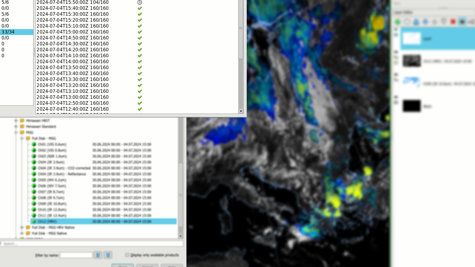
Satellite Weather is a product for reception, processing and display of satellite data with focus on geostationary meteorological satellites from EUMETSAT and JMA.

Main Features

  • Works with EUMETCast (typically paired with Tellicast and Novra DVB-S2 receiver)
  • HimawariCast/HimawariCloud
  • Decodes HRIT/LRIT from MSG and MSG IODC
  • Decodes Himawari HRIT (from EUMETCast, JMA) or Himawari Standard Data (HSD)
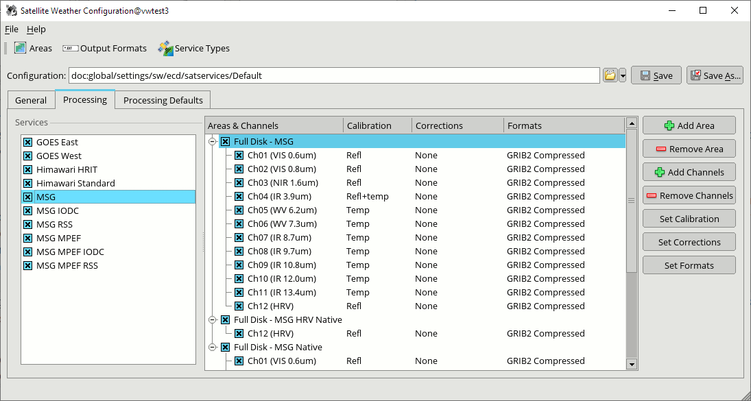
  • Stores processed satellite imagery in WMO GRIB2 format without compression or with embedded JPEG2000 or PNG
  • Stores full disk or subset of original resolution in native geostationary space view or remapped into standard map projections
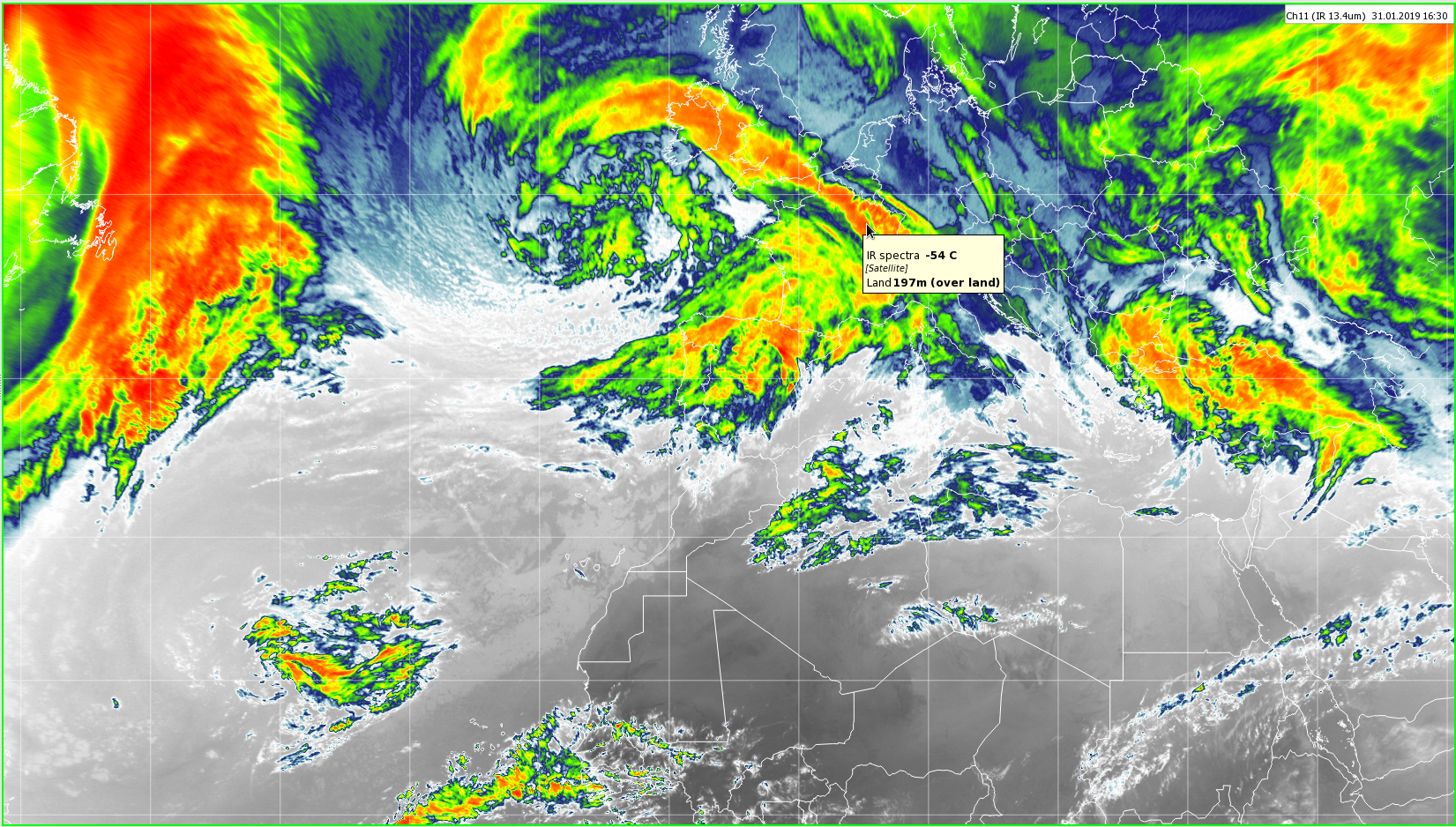
  • Radiance converted to reflectance (VIS) or black body temperature (IR, WV)
  • Automatic image production mode (e.g. GeoTIFF/PNG/JPEG for your website) including transparency support z Automatic upload to FTP, SFTP
  • Solar zenith angle correction for visible channels
  • Parallax correction of clouds based on NWC SAF cloud top height; for MSG satellite series

Derived Satellite Products

NWC SAF / GEO

  • Cloud Top Height
  • Cloud analysis products
  • Precipitation estimate products
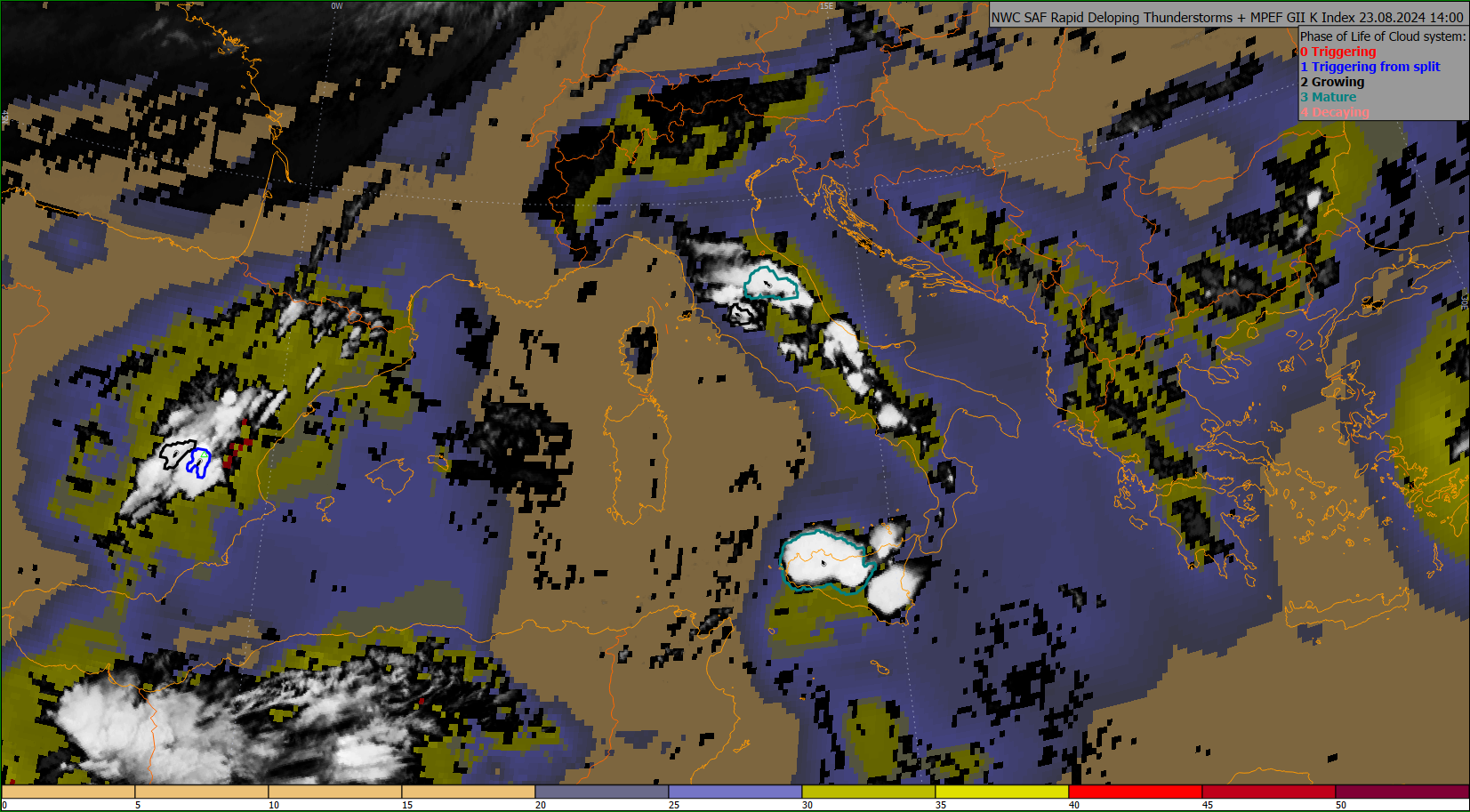
  • Rapid Development Thunderstorms
  • More image and vector products

Land SAF (LSA)

  • Land Surface Temperature (LST)
  • Surface Albedo
  • Surface Solar Irradiance (SSI)
  • Snow Cover, Vegetation Cover, Leaf Area Index, etc.

Ocean & Sea Ice SAF (OSI)

  • Sea Surface Temperature (SST)
  • Sea Ice, Sea Winds
  • Radiative Fluxes

MPEF (including RSS and IODC)

  • Cloud Analysis (CLA)
  • Global Instability Index (GII, RII)
  • Atmospheric Motion Vectors (AMV)
  • Cloud Analysis Image (CLAI)
  • Cloud Mask (CLM)
  • Cloud Top Height (CTH)

Workstations

The display workstations support the following features:

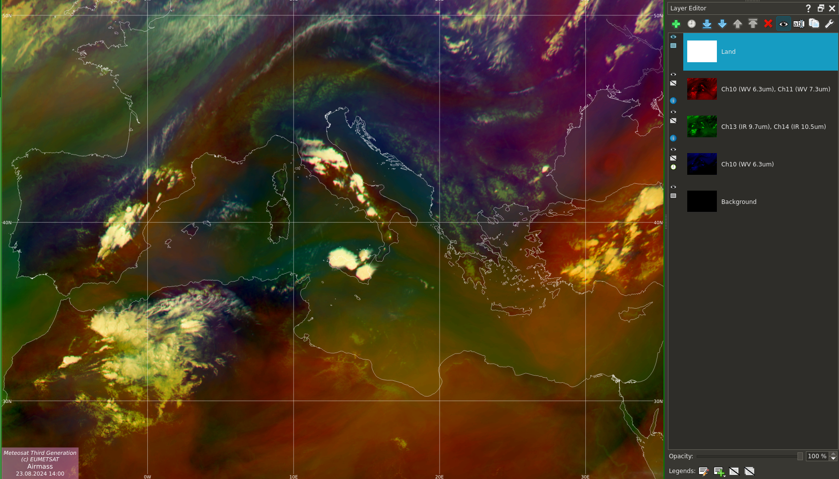
  • Combine multiple layers in one map (e.g. SAF data on top of MSG imagery)
  • RGB spectral composites for MSG, Himawari incl. your own formulas
  • Create sandwich products (adding detail to IR with HRV channel)
  • Customisable colour palettes for VIS, IR, WV spectra


  • Configurable background & foreground topography layers
  • Animation loops
  • Map legends (annotate images for automatic export with a time stamp or your organisation logo)
  • Zoom, pan and tooltips with mouse
  • Time navigation with keyboard & mouse

Visual Weather Integration

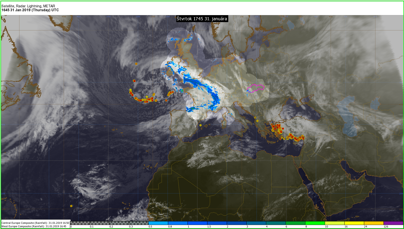
The satellite imagery stored by Satellite Weather in GRIB2 format can be further sent into IBL’s Visual Weather full featured meteorological visualisation product. Visual Weather then allows to:

  • Overlay satellite, radar and lightning data
  • Overlay tropical cyclone tracks
  • Overlay NWP model fields or Surface analysis
  • Use satellite images as guidance for drawing forecast products like analysis charts, or SIGMET for aviation
  • Set up alerts when values in the satellite image in an area reach a threshold


  • Expose satellite images over OGC Web Map Service (WMS) to enable interactive viewing of satellite imagery on the web, or integration with Google Earth and other GIS services z Create derived scientific calculations involving the values from satellite images
  • Create route cross sections through the values of satellite