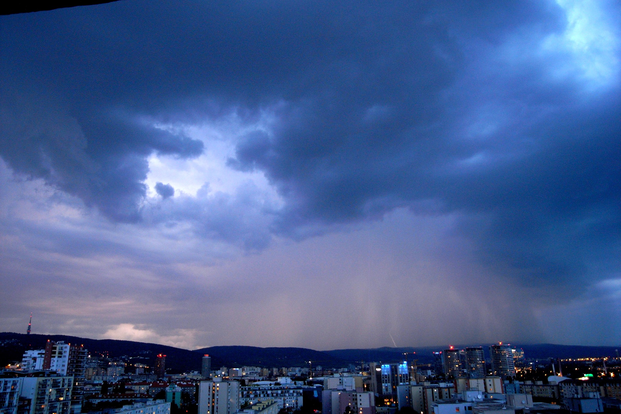
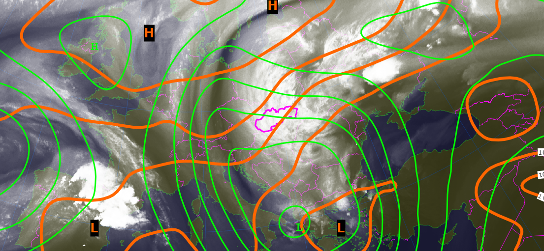
It is quite typical for summer circulation over central Europe that there is fading of baroclinic westerly current of weather systems from the Atlantic ocean. Instead of it we experience isolated upper level cyclones. The animation below shows merging process of these features resulting into one large vortex with approximately 3000 km in diameter. One […]
Monthly Archives
June 2018
Cold Front Passage over Bratislava
After a long period of hot weather in Bratislava we finally experienced cold outbreak when temperature dropped from 32 deg to less than 20 deg. The radar image loop shows how isolated storm cells formed into large mesoscale convective system. The timelapse movie below shows overall situation as has been seen by eyes from Bratislava […]