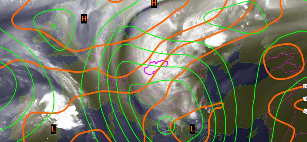
It is quite typical for summer circulation over central Europe that there is fading of baroclinic westerly current of weather systems from the Atlantic ocean. Instead of it we experience isolated upper level cyclones. The animation below shows merging process of these features resulting into one large vortex with approximately 3000 km in diameter. One of the best options to show this process is to combine water vapor satellite imagery with 500 hPa and sea level pressure fields to show how the wind field changes and all water vapor and cloudiness are overturned from east Europe to the west part of the continent.
0 Comments Leave a comment
Comments are closed.