Now, in the middle of winter, it is the right time to recall summer sky with huge cumulonimbus clouds and thunderstorms.
The first timelapse animation shows scattered cumulus clouds with progressive vertical development. There were several thunderstorms in a row which is a quite rare phenomenon in Bratislava. The last one directly hit camera position with heavy shower accompanied by hail and gusty wind. After cooling caused by rain evaporation the thunderstorm activity fades out in the end of the animation.
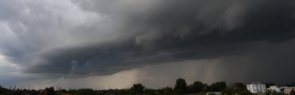
The second animation shows situation on the next day. There was stronger vertical wind shear and large almost stationary Cb cloud dominates the sky instead of scattered clouds. As heavy rain continues under cloud base, deep pool of evaporatively cooled air is developed. This pool spreads to all sides (i.e. from right to left in the animation) and interacts with environmental low-level air which flows in opposite direction. Such interaction is very favorable for triggering of new convection with very turbulent cloud base and all scene becomes much more dramatic. Thunderstorm movement is apparent only in cases like that, created by new clouds formation still on the same side of thunderstorm.
0 Comments Leave a comment
Comments are closed.